U.S. Department of Transportation
Federal Highway Administration
1200 New Jersey Avenue, SE
Washington, DC 20590
202-366-4000
Los Angeles, California
|
|
|
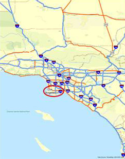
FIGURE 111 Los Angeles, California. |
Figure 111 is a map showing the location of Los Angeles in the state of California. The network of interstate highways is shown to the north, east, and south of the city.
|
|
|
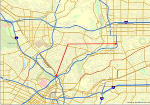
FIGURE 112 State Route 110. The Arroyo Seco Parkway. |
Figure 112 is a map showing the limits of the parkway, from its intersection with Interstate 5 in the south near downtown Los Angeles, northeast to the City of Pasadena.