U.S. Department of Transportation
Federal Highway Administration
1200 New Jersey Avenue, SE
Washington, DC 20590
202-366-4000
NOTEWORTHY PRACTICE
FHWA-SA-19-014
Best for printing: [PDF, 627 KB]
To view PDF files, you can use the Acrobat® Reader®.
The Idaho Transportation Department (ITD) used a series of interactive web-based applications known as Story Maps to support a robust public involvement program.
Gallery of ITD Story Maps.
To address this need, ITD introduced Story Maps2, an interactive tool to support public involvement efforts. Story Maps allow ITD to combine project maps with narrative text, images, and multimedia content to communicate with stakeholders and the public about project planning activities. It was developed by Environmental Systems Research Institute (ESRI) and is hosted in ArcGIS online, which is an online geographic information system (GIS) tool. A key advantage of these online GIS tools is that the users do not need to have any GIS or coding experience.
Example Story Map App.
ITD uses Story Maps for long-range, corridor, and modal project outreach efforts. These maps can display safety issues along a corridor, which allows end users to understand these issues in relation with other transportation needs in a specific corridor. Additionally, Story Maps app has the following benefits:
ITD created a series of interactive web-based applications using Story Maps to support data visualization. For example, the Highway Safety Corridor Analysis app incorporated several drop-down panels and hovering and zooming options. The app allowed users to weigh in on proposed safety improvements.

Highway Safety Corridor Analysis App.
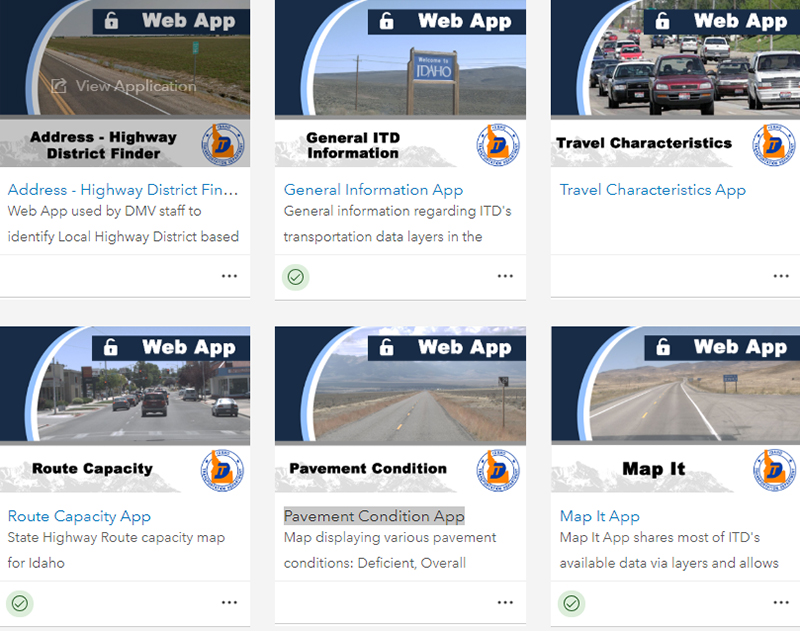
Other ITD web-based Story Map apps focused on the following:
During the 2017 Planner's Summit, it was determined that making work processes and initiatives easily accessible through ESRI Story Maps would allow ITD to best serve its staff and citizens, and therefore ITD would include in its Planning Network (IPLAN). ITD has been working with modal/district staff to update the corridor planning process using Story Maps as a basis to develop a new Corridor Planning Guidebook.
Sonna Lynn Fernandez, Transportation Planning Project Manager, ITD Planning Services, Sonnalynn.fernandez@itd.idaho.gov, 208-334-8209.
1 Idaho Transportation Department. ITD Guide to Public Involvement for Programs, Planning and Projects. https://apps.itd.idaho.gov/apps/manuals/PublicInvolve/PublicInvolve.pdf.
2 Idaho Transportation Department. Story Maps. https://iahd.com/wp-content/uploads/2018/11/Story-Maps_ESRI.pdf.

